Floating Energy Allyance Deploys a Floating LiDAR Device
Floating Energy Allyance Deploys a Floating LiDAR Device
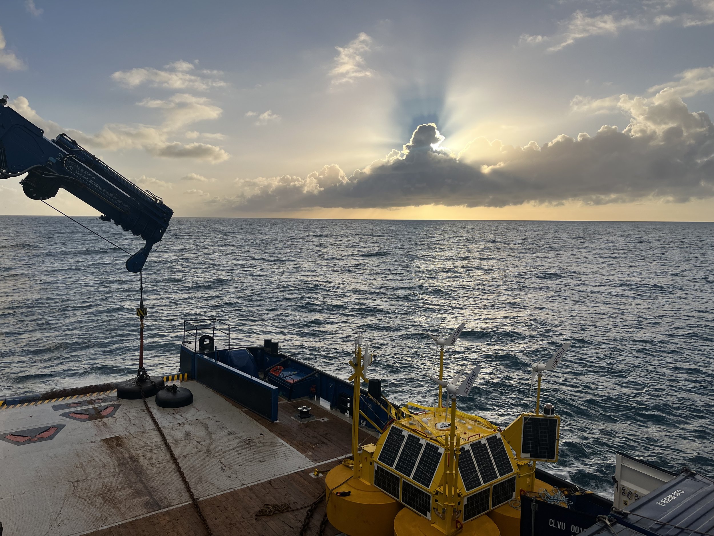
Floating Energy Allyance (FEA) deploys a floating LiDAR at their Buchan Offshore Wind project site.
As part of the measurement of wind, metocean and environmental conditions to inform the design and assessment of its Buchan Offshore Wind project, FEA has deployed a floating LiDAR buoy within the option site, around 75 km off the Aberdeenshire coast.
The floating LiDAR device was deployed in the North Sea by Glasgow based metocean specialists Partrac. This followed validation at ORE Catapult’s Offshore Meterological Mast in Blyth, Northumberland.
The deployment of the EOLOS FLS200 floating LiDAR and metocean devices to collect site specific data represents an important step in the development of the project and the data collected will inform energy yield, engineering design and environmental assessments.
Alasdair MacLeod, Project Director of Buchan Offshore Wind, said:
“The deployment of floating LiDAR and metocean equipment this week marks a significant step for the project and will provide valuable site data to the project team. We are delighted to see the project moving forward as planned and look forward to progressing further consultation and surveys.”
Sam Athey, Managing Director of Partrac, said:
“Partrac is delighted to work with the FEA team and our wider supply chain in Scotland and the UK to safely commence this metocean measurement campaign, and we look forward to continuing to support this exciting project.”

